The National Cadaster project in Angola aims to modernize land administration and improve land tenure security using a holistic approach which included the provision of the legal framework, technology, mapping, parcel data creation, mass registration, training, knowledge transfer and financing. The initiative supports efficient land mapping, registration and management which enhances transparency, and fosters economic development and supports data-driven land decision-making.
Location:
Angola
Inauguration year:
2022
Impact highlights:
Over 450,000 urban parcels mapped.
Over 100,000 properties registered.
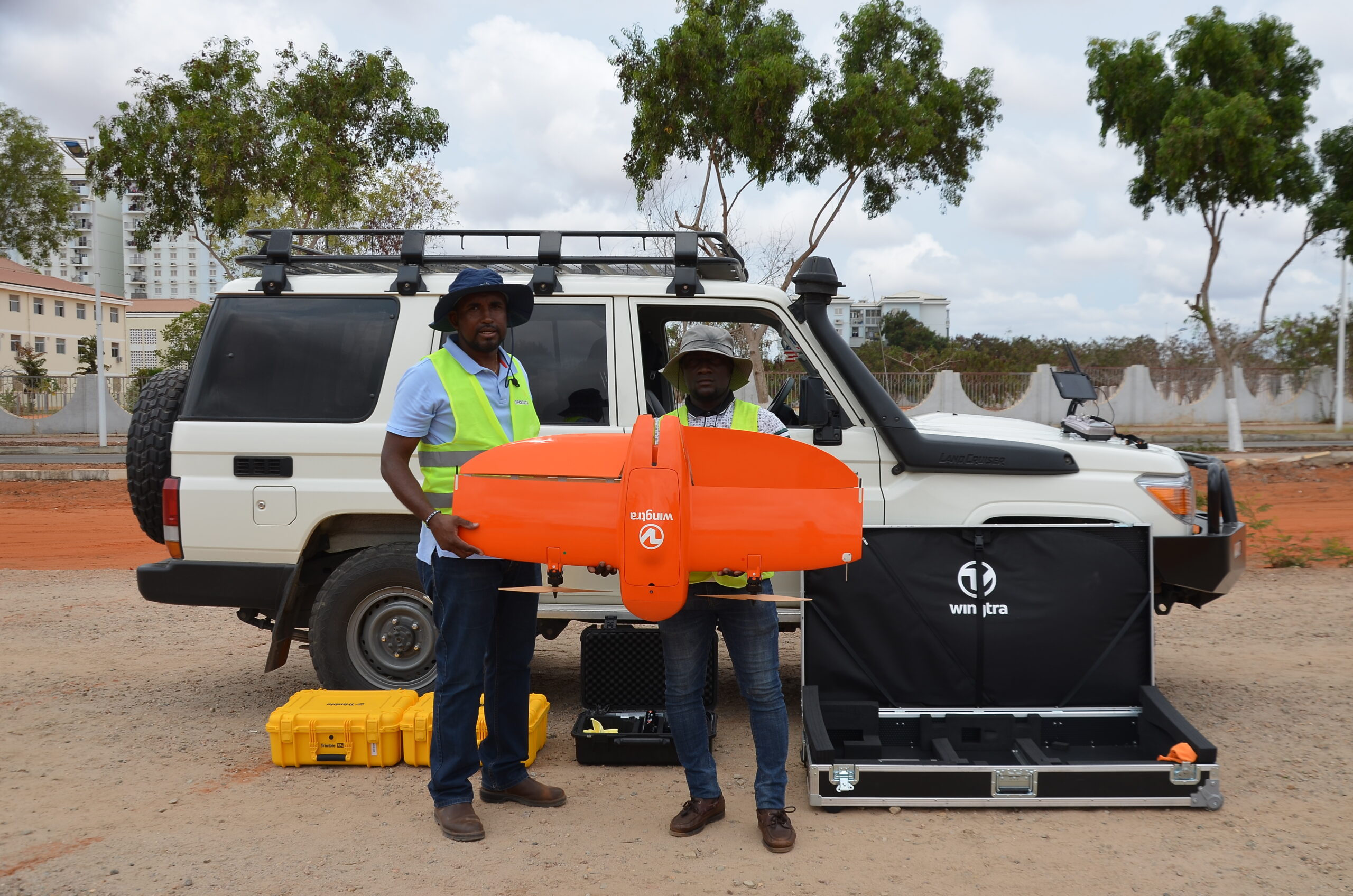
6,200 Km2 of high resolution (<5cm GSD) imagery mapped with aerial and drone surveys.
400 Km2 of 3D mapping.
25 Urban plans created
Cadaster system deployed in 18 provinces.
7 legal decrees created & published.
Increased government revenue from land taxation.
Official partners:
IGCA
MINOPUH
MINJUSH
Sector synergy:
SDG supported:
Project
challenges
Angola faced challenges in managing land ownership due to outdated records, lack of accurate mapping, and inefficient administrative processes. This leads to land disputes, difficulty in urban planning, and barriers to economic development. Without a structured cadaster system, property rights were unclear, discouraging investment and sustainable land use.
Our solution
The project leveraged a Fit For Purpose approach which included imagery based accurate as-built photogrammetric mapping and Esri’s GIS technology to develop a modern cadaster system, integrating geospatial data, digital mapping, and cloud-based platforms for land registration. By implementing an automated and standardized process, the initiative improved data accuracy, increased accessibility for citizens, and streamlined government operations. The use of AI and remote sensing further enhanced data collection efficiency.
Scope
of work
Conducted extensive field surveys and data collection.
Digitized land records for improved accessibility and accuracy.
Developed a distributed cadaster system with a central database, deployed across all 18 provincial IGCA offices.
Provided training programs for government officials and local surveyors to ensure effective system usage.
Launched public awareness campaigns to educate citizens on the benefits of the modern cadaster system and how to access its services.
The National Telecommunications Expansion Project connected 15 million people across 13 provinces with a sustainable, high-speed communication network. Overcoming Africa’s challenging terrain, a large-scale microwave solution was integrated with existing infrastructure, covering 8,000 km.