Geographical Infrastructure

Angola, 2014-2021

Using razor-sharp, cost-effective mapping from drones, aerial and field surveys, and state-of-the-art geodetic networks, Geodata created an accurate, up-to-date geographical infrastructure providing national and local authorities with applications for planning, controlling and managing their resources.

Project story

Geographical infrastructure enables countries to plan and manage activities in various aspects of land delimitation and registration, providing national and local authorities with powerful web-based resources and applications.

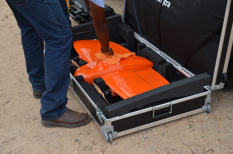
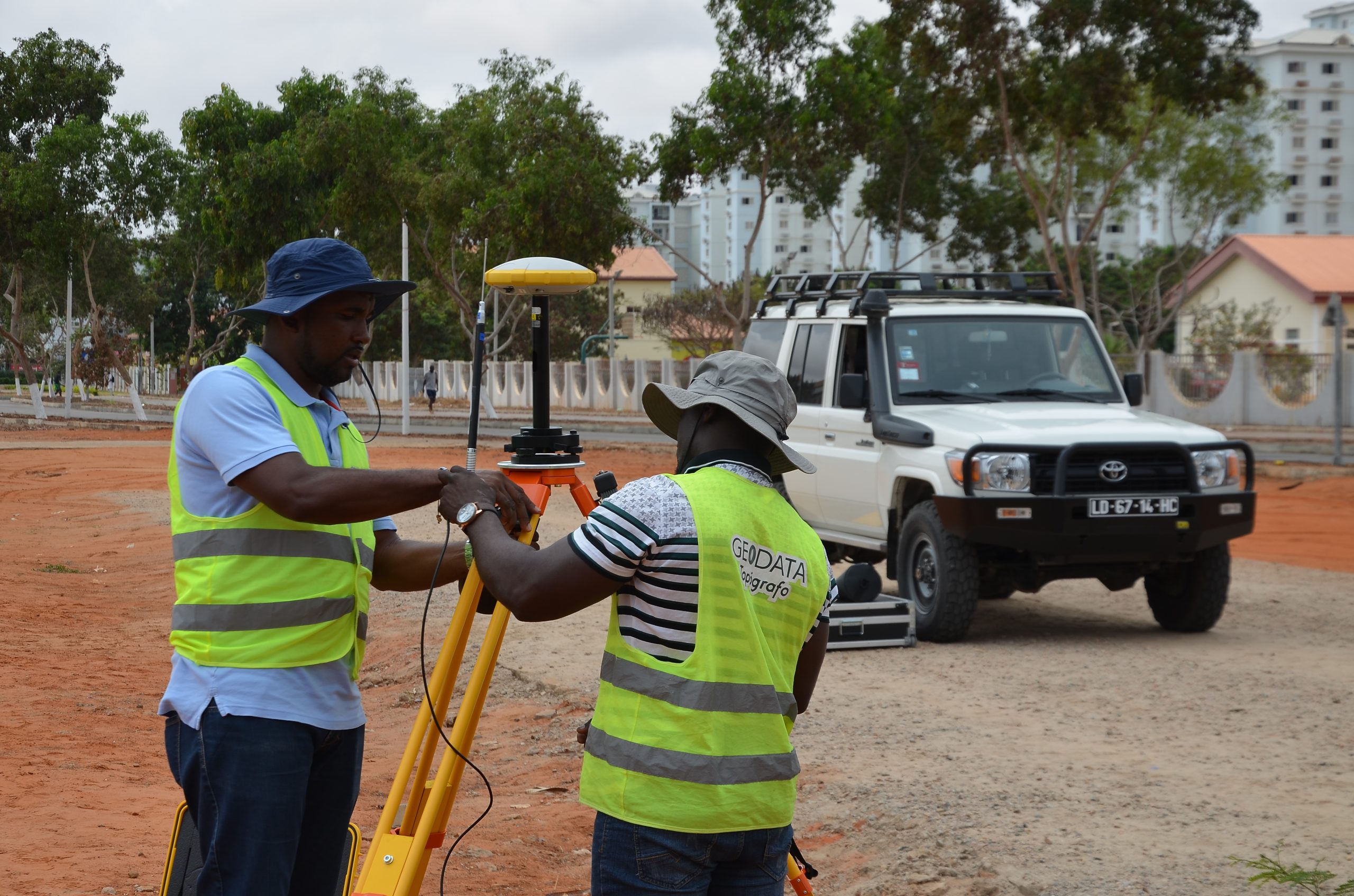
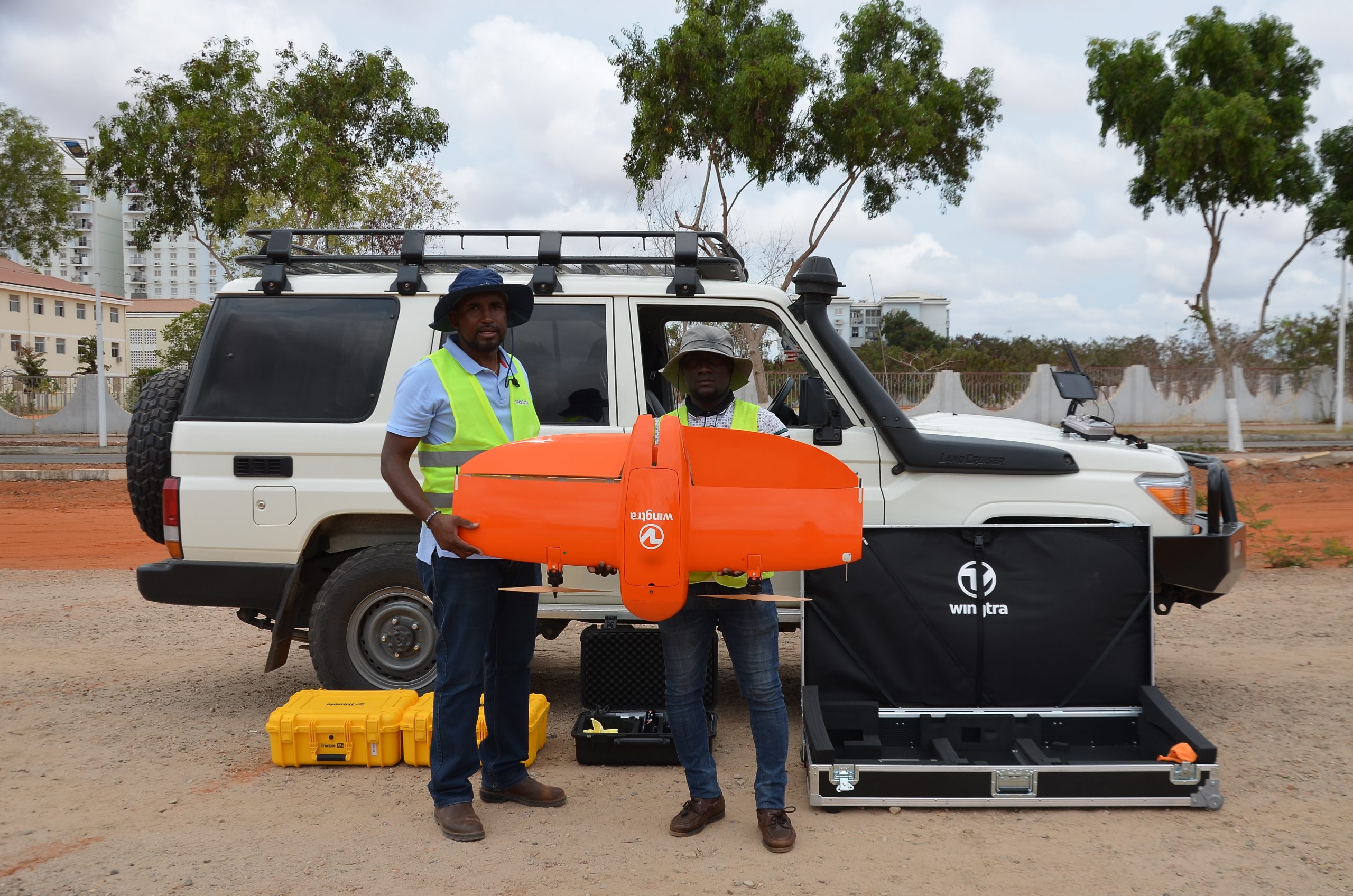
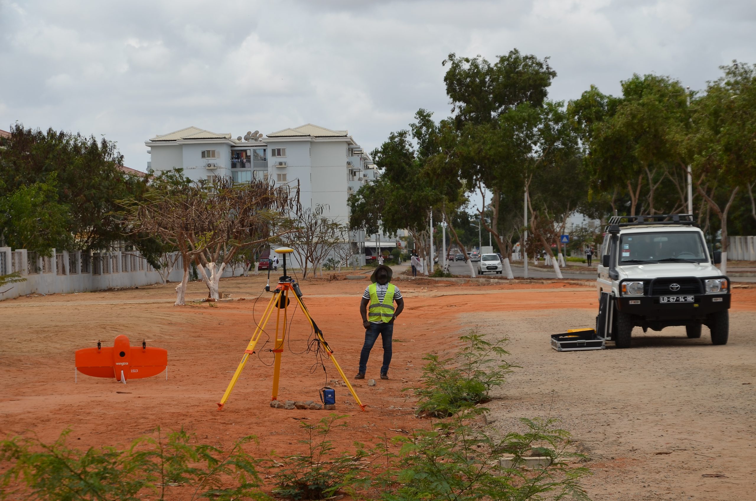
Geodata’s project included GNSS renovation and maintenance for 18 provincial stations, assuring highly accurate geodetic measurements. State-of-the-art drones and aerial surveys provided
high-resolution 3D visualization and mapping of some 3,000 km² as the basis for a photogrammetric process.

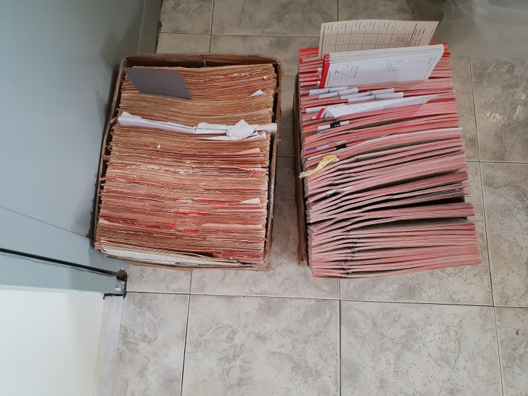
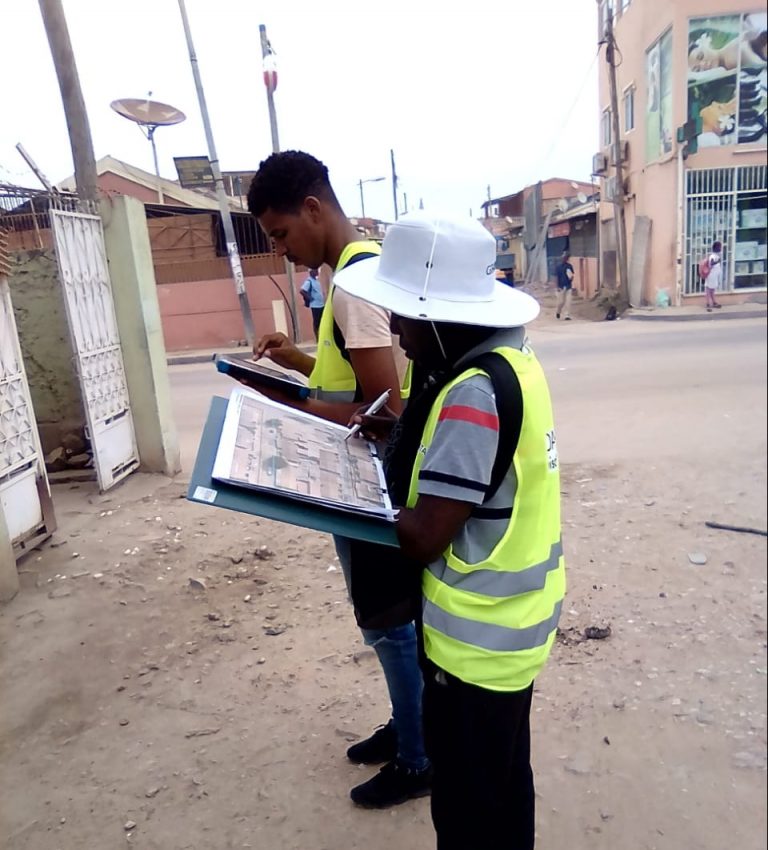
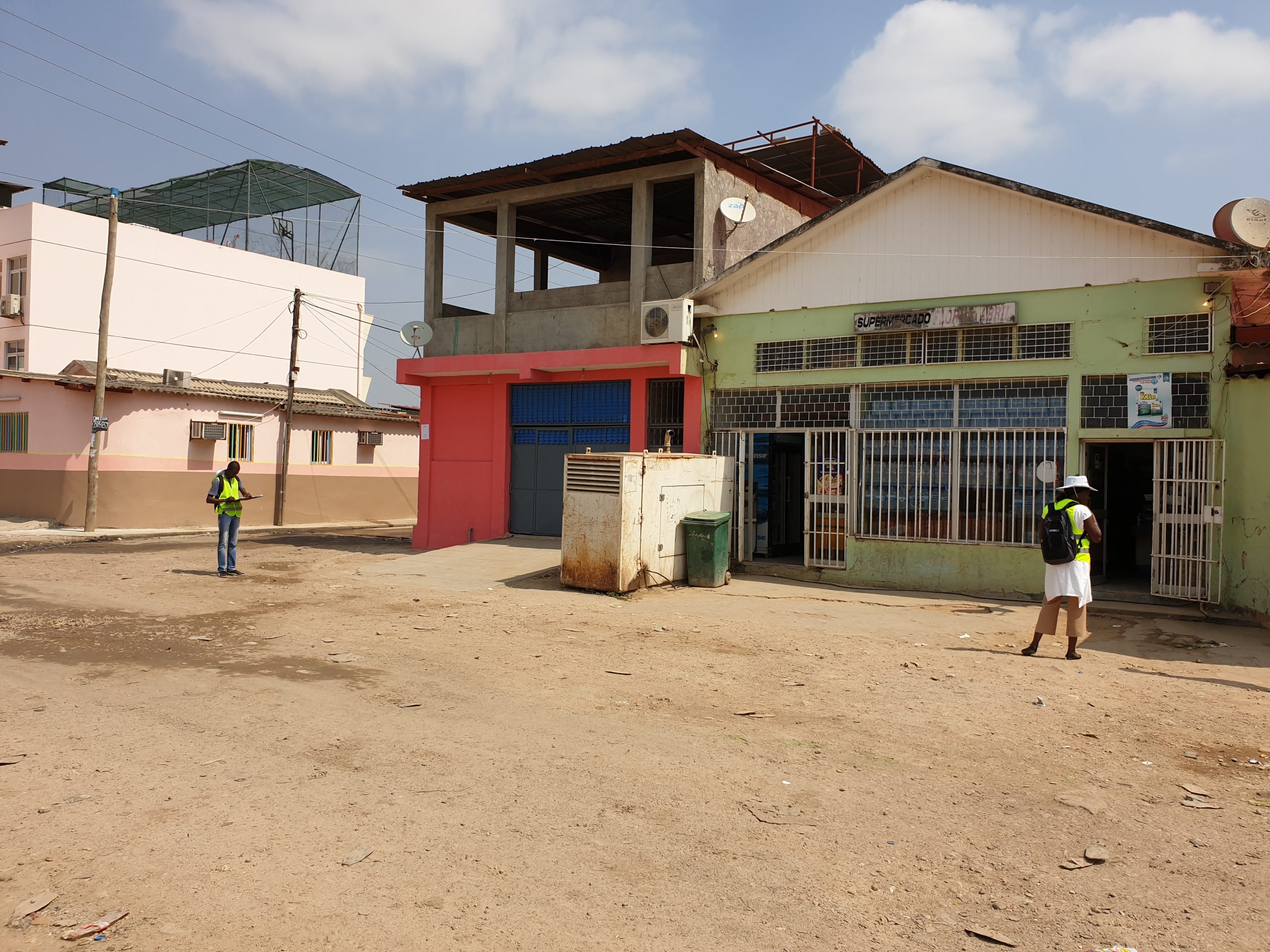
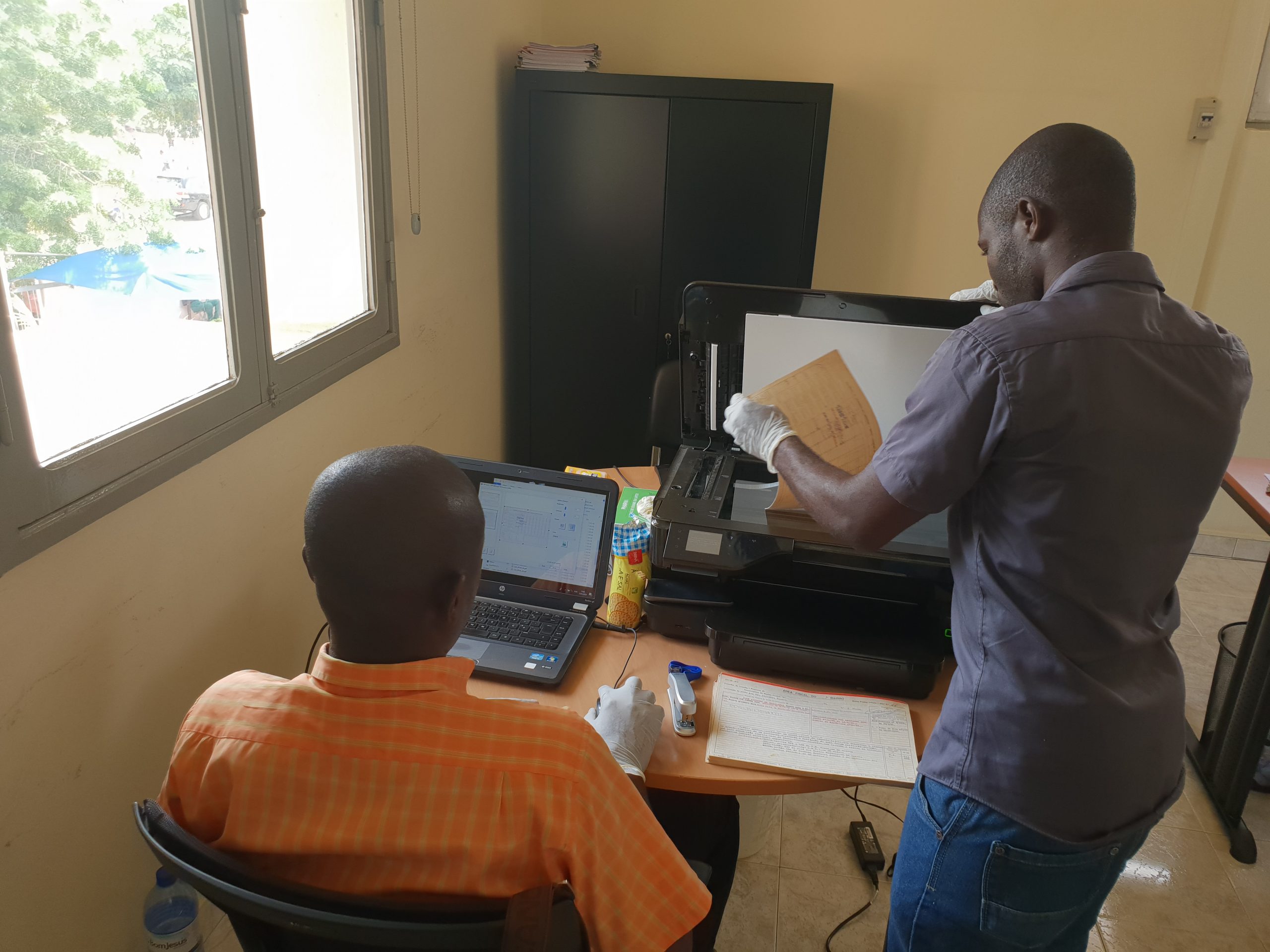
A constantly updated address database of more than 50,000 structures, updated road names, photos of building facades, points of interest, elevation models and natural resources, creates an impressive bank of knowledge.

The process

Challenge

Executing such a project required Geodata to define, reveal, collect and digitize reliable historical documents, maps and other information.

Approach

Skilled staff worked with cutting-edge technologies to develop everything from scratch, from geodesy control points to data collection software.

Solution

Using high-resolution, high-definition mapping from drones, aerial and field surveys, and state-of-the-art geodetic networks, saving time and expenses.

Some numbers

SDGs we followed

8· 10· 11

Decent work and economic growth• Reduced inequalities• Sustainable cities and communities

Provincial stations provided with GNSS renovation and maintenance

18

Constantly updated address database of structures

+50K

Some numbers

SDGs we followed

8· 10· 11

Decent work and economic growth• Reduced inequalities• Sustainable cities and communities

Provincial stations provided with GNSS renovation and maintenance

18

Constantly updated address database of structures

+50K

In conversation
with Nuno Carvalho

Nuno Carvalho is a GIS Assistant.

When I first began working with Geodata, I was involved with scanning and document indexing for the castral project’s three principal endeavors: urban surveys, scanning and drone survey. The experience has been amazing, and the experience I gained working alongside such experienced, professional colleagues is something I hope to be able to pass on to others. In addition, the project gave me the privilege of really getting to know my country.

I have no doubt that our work will benefit Angola. Having quick access to up-to-date, accurate land registry data is the key to reliable real-estate transactions, and the cartographic system provides the information required for intelligent integrated development plans in urban areas.

Our work requires tremendous expertise, but the secret of our success lies in teamwork. Working in unison makes all the difference.

“This project gave me the privilege of really getting to know my country."

Tags related to this project