Each Mitrelli subsidiary has proven expertise in its sector. When facing complex challenges, multiple companies often work together. Multidisciplinary synergy is our force multiplier — and our customers' added value.

Geographical Information Solutions
Geodata
Connecting geography and data for sustainable land-use and terrestrial systems.
Our mission
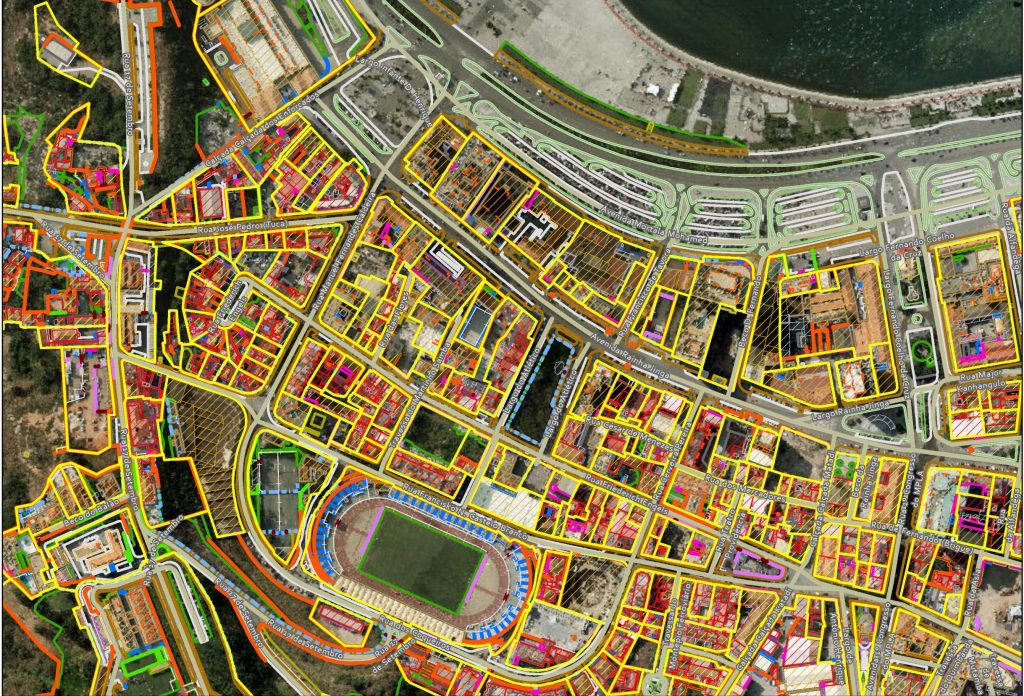
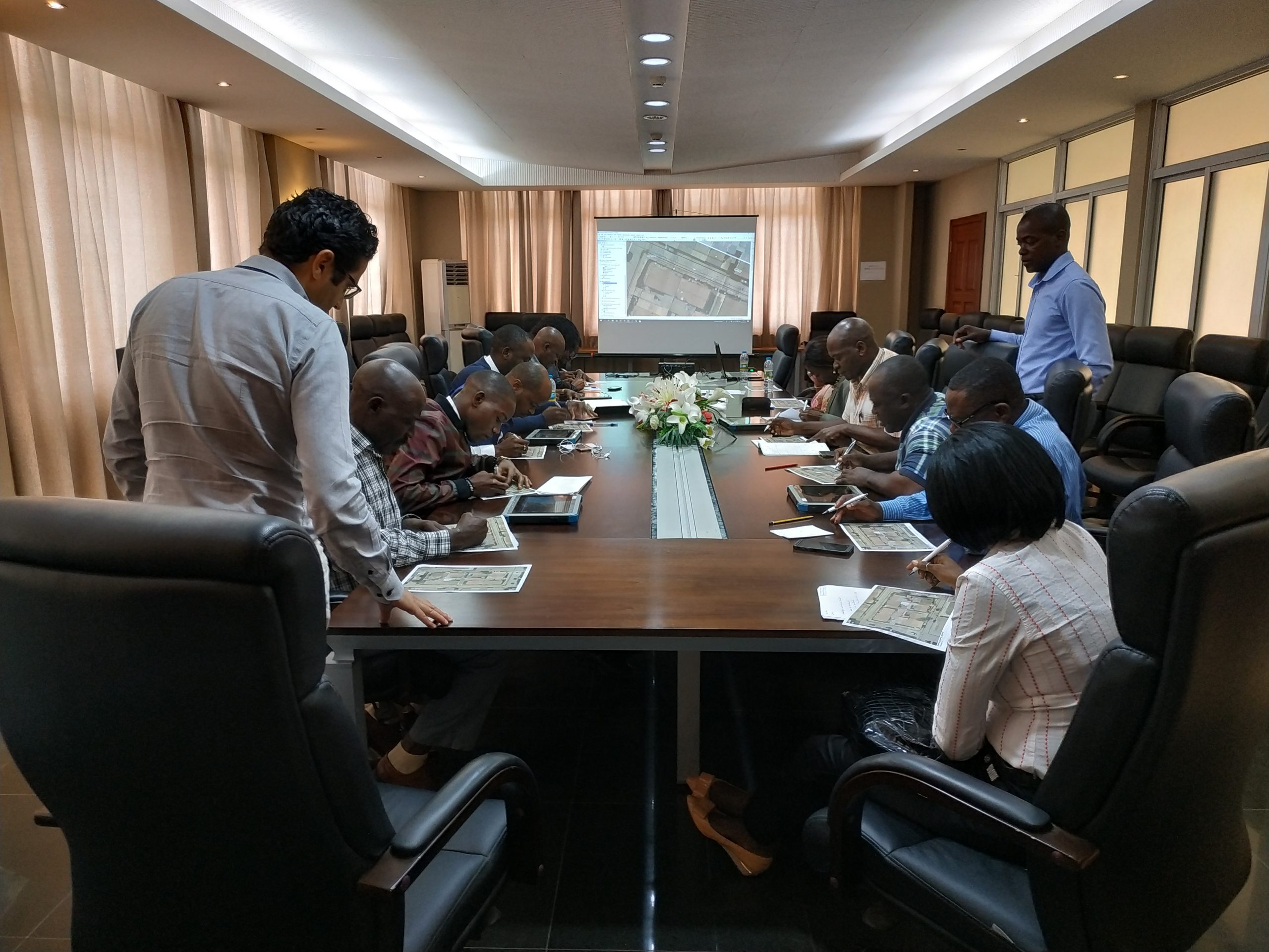
Geographical analysis and visualization are the key to the advanced location-enabled services used to assure orderly land use, ownership registration and taxation — especially important in developing nations. Geodata’s Geographic Information Systems (GIS) and mapping services provide precise data for cutting-edge decision-support systems, crucial for effective asset supervision, cadaster and land management.
Wherever we operate, we seek to impact positively on people’s quality of life. Our turnkey systems help boost local and national economies, while reducing costs. In every project, Geodata creates mutually beneficial relationships with its customers, transfers knowledge and trains local personnel in preparation for assuming full, independent control over future operations.

What we do
Our expertise
Know where you are. See where you’re going.
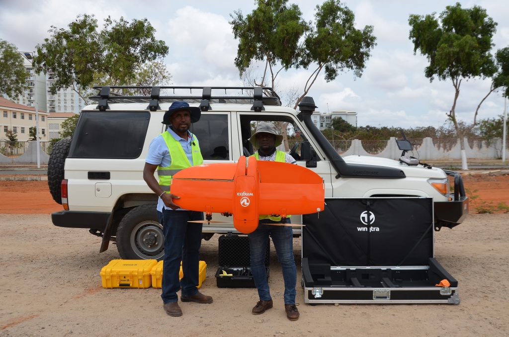
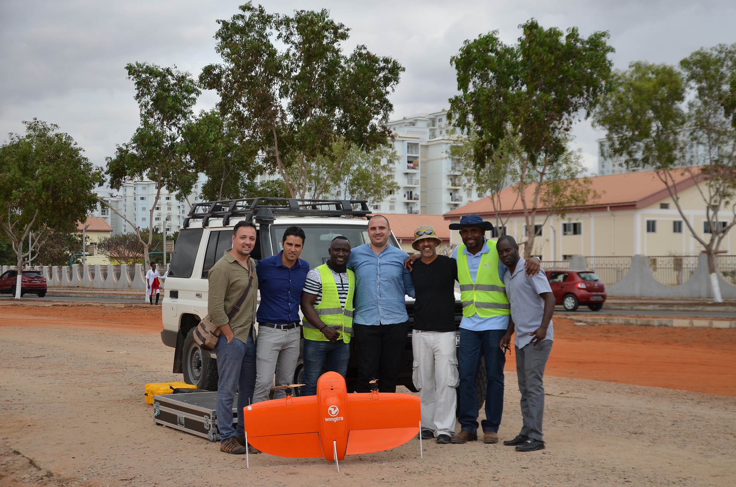
Geodata personnel are GIS & mapping experts, systems engineers, cartographers, land surveyors, project managers, application developers, legal consultants, and the like. They use state-of-the-art technologies, providing ‘fit for purpose’ solutions for all geo-related challenges.
Our achievements
Putting everything in order
Geodata contributes to the effective planning, control and management of land and properties, creating a reliable foundation for taxation, real-estate sales and mortgages and the basis for efficient transactions, leading to higher investments, social stability and greater confidence in government.
Selected projects